City Master Plans
On an as-needed basis, the Planning and Zoning Division develops extensive analyses of major community issues and facilities. These studies serve as useful guides when opportunities for bettering the community arise. Below are two important master plans to the City of North Port.
US 41 Corridor Master Plan
The US 41 Corridor Master Plan was developed in 2003 to provide a clear vision for the US 41/Tamiami Trail corridor. This included alternative transportation facilities (i.e., bicycle lanes, pedestrian walkways, etc.) and aesthetic features. The study is used as a guide for reviewing development applications and submitting grants for the enhancement of the roadway.
Due to the size of this study, it is broken up into two documents for download.
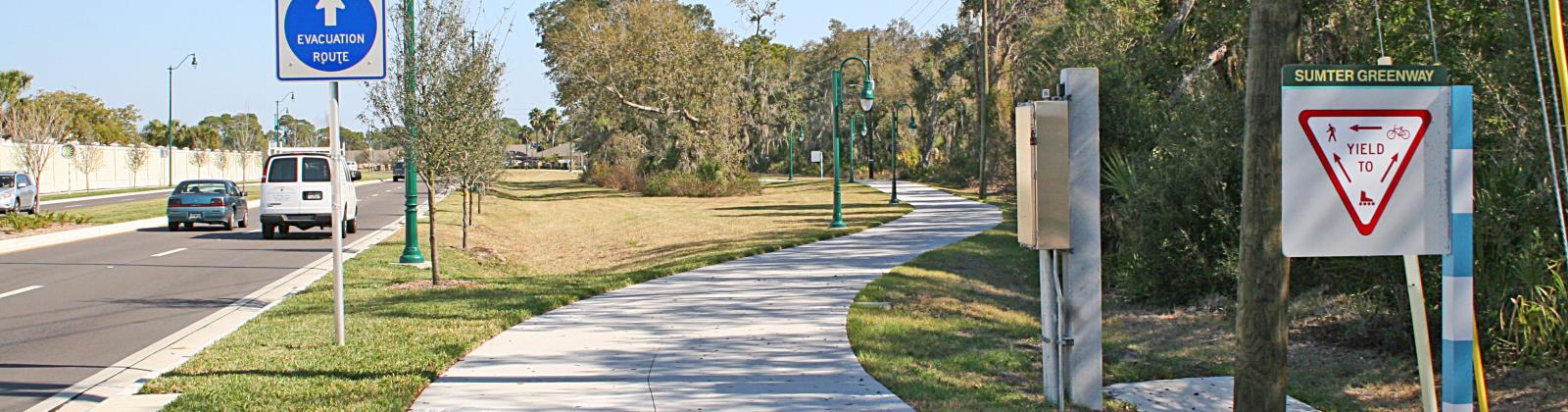
Myakkahatchee Creek Greenway Master Plan
The City has purchased approximately 700 acres of land on both banks of the Myakkahatchee Creek, which flows from the northeast to the southwest for approximately 7.25 miles through the city. This purchase was accomplished with the assistance of State and Federal grants totaling almost $13 million.
The Creek is both a primary source of potable water and a recreational resource for the City. Recognizing its enormous importance, the City Commission directed the Parks & Recreation Division and the Planning and Zoning Division to develop the Myakkahatchee Creek Greenway Master Plan.
This Master Plan is a conceptual blueprint for the future development of the Creek for public use. To protect the potable water resource, the Master Plan restricts development to passive and moderately active recreational pursuits, such as hiking, wildlife observation and canoeing, picnicking and public education.
Yorkshire and I-75 Interchange
It is the goal of North Port to expand access to I-75 thru our city. Access to Yorkshire, and the associated Activity Center 6, is seen as a powerful step to insuring growth.